“Ladies and gentlemen, the commuter train to Porto-Campanhã is now entering platform one.” Is this this how your morning starts? Or do you usually take the bus? Do you need a car? Or do you prefer a bicycle? Do you have an adequately planned route, or do you improvise along the way?
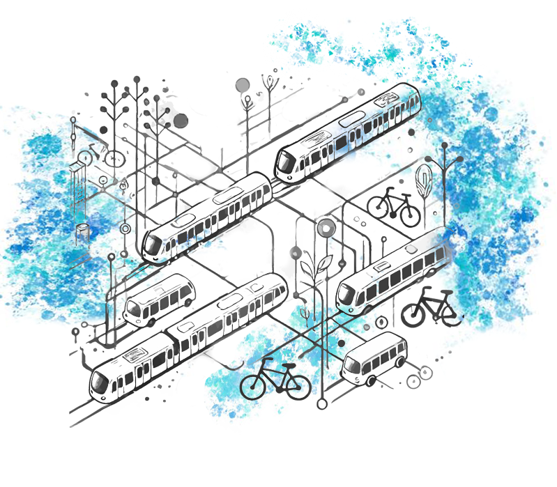
Regardless of how we choose to move, one thing is certain: mobility is no longer just about getting from point A to point B. Nowadays, we can add sustainability and advanced technologies – like sensors, Artificial Intelligence (AI), data analysis or communication networks – to the equation. The goal? Smarter cities, with optimised options to ensure everyone’s safety and comfort. Fasten your belt (or helmet), and join us on a journey, “where no cars go“, towards a more efficient and sustainable future, with routes planned using applications and real-time data. Ready?
In 1998, the film Sliding Doors presented us with two parallel versions of a woman’s life, based on a simple event: whether she could catch a train. Today, the movie wouldn’t make so much sense anymore. Why? It’s 8 o’clock in the morning on a weekday: to get to our destination, we must take a train and a bus. Whether or not we take the train right now may define our entire morning routine; but thanks to technology, we know how that decision will affect us.
For four years, the opti-MOVES project aimed to improve operational efficiency and service quality in public transportation systems, through the use of advanced data analysis tools and optimisation algorithms. And it is even possible to create solutions that improve urban mobility – in an efficient, inclusive and sustainable way – by studying the routes and using demand forecasting models. Together with her team, Tânia Fontes, INESC TEC researcher leading the project, designed a framework capable of collecting and processing data, and with potential use in several applications. “Within the scope of the project, we developed some examples of applications that could improve the public transportation system: from the development of more inclusive route plans to knowledge acquisition through very comprehensive data. We are not just talking about data related to transportation itself, e.g., the movements of vehicles and their routes, but variables that affect mobility, like weather, sports events, days of the week and even strikes – which can influence the flow of users,” she explained. There are also unusual patterns, but relevant in certain contexts, that can be identified and help operators, namely to adjust their routes. “In my opinion, what is interesting is to create intelligent systems capable of identifying these uncommon situations and studying alternative scenarios that improve efficiency and the user experience.”
How to use public transportation without drama
Back to our trip: can I calculate how long it will take me to get from point A to point B, even if I must resort to two different public transportation systems? We can make an estimate based on transportation schedules, but the issue of synchronisation between operators remains a limitation. “Often, a bus stop is used by several operators, but defined with different identifiers, which creates problems in the interpretation of the data. For example, a certain place can be called a ‘stop’, a ‘station’, or a ‘halt’, depending on the operator; besides having different names, they can also have different identification codes, and the models fail to realise that we’re talking about the same location. One of the objectives of the project was to make the databases ‘communicate’ with each other,” explained Tânia Fontes.

The other issue is to be able to predict delays, accidents or deviations, based on circulation patterns. “Mapping is absolutely essential. With GPS data, we monitor the speed and acceleration of vehicles, which helps us identify critical areas and periods of the day”, said the researcher.
Access to this data may also help to adjust the frequency, or to better manage traffic in certain areas, considering all means of transportation – including individual means. The project worked on several tools and compiled information that can help support various levels of operator decisions, be they control, tactical or strategic. However, the collaboration of both parties is necessary: “for research purposes, it would be important if the data were made available in a more agile way, something that some entities already do; but there is still a long way to go. If there was a more serious commitment by said entities – municipal authorities, metropolitan areas, transportation companies, etc. – to explore and analyse this data, we could develop and train algorithms to solve problems in a more practical way”.
Next stop: accessibility
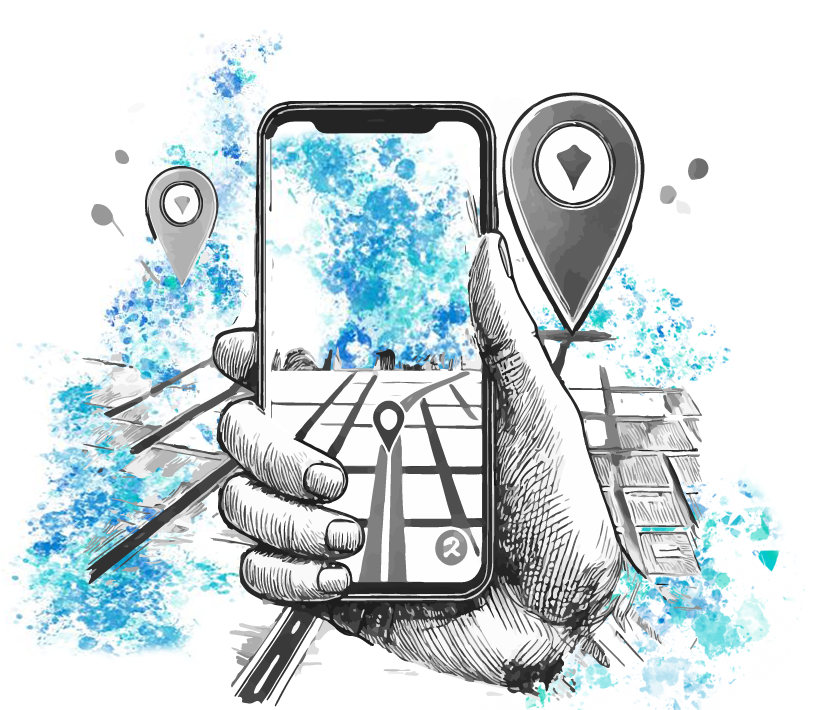
What if we must take a bus, but we’re in a wheelchair? Suddenly, it’s not just the schedules that matter when planning our route. When it comes to accessibility, there are other variables to consider. In 2020, still within the scope of the opti-MOVES project, researchers Tânia Fontes and Teresa Galvão explored the question of accessibility to make the experience of using public transportation more inclusive. More recently, INESC TEC researcher Marta Campos Ferreira developed a mobile application aimed at people with reduced mobility, to facilitate their movement. BarrierBeGone is a collaborative tool that allows people to identify obstacles in public areas. “It works similarly to crowdsourcing, in which users share information about urban obstacles they face, e.g., absence of ramps, steep inclines, obstructed sidewalks, etc. If someone reports, for example, that a car is blocking the sidewalk, this information can be validated by other users, making the app more reliable and useful for everyone”, explained the researcher. We are talking about a tool that works a bit like Waze or even Google Maps, getting real-time information from their users. Hence, it’s possible to plan a route more safely, so that they can navigate the urban space more confidently.
The development of the app included interviews with people with reduced mobility to identify the main difficulties they face when moving in public space, and a testing phase (with a positive feedback). Marta emphasised that “this participatory approach allowed us to create a really effective solution, developed together with the people who benefit most from it”. To increase people’s engagement, the app can integrate gamification elements, allowing users to earn points as they contribute with important information. “There are places where this strategy is already used in collaborative apps, encouraging the contribution with simple rewards, like discounts on services or products provided by partners,” she explained. According to the researcher, this tool will make cities more inclusive and allow municipal authorities to address the real needs of their people.
Sustainable mobility? Cars don’t get in!
In addition to this project, Marta has been developing several applications to encourage sustainable mobility. “Inclusion and urban sustainability are my main focuses. I am always working on solutions that promote the use of bicycles, walking and using public transportation.”
Mobility in Portugal has evolved with an increasing focus on public transportation and more sustainable resources. However, the lack of infrastructures and insufficient funding for active mobility strategies (walking and cycling)[1] hinder said transition. In addition to the implementation of traffic management systems, apps or electric vehicles, it’s also vital to change people’s behaviour.
In 2022, the number of passengers using light rail systems (Metro or cable car) increased by 11.89%, and on heavy rail (train) decreased by 3.39% compared to 2019, after a 50% decrease in the use of said means of transportation in 2020 and 2021 (due to the COVID-19 pandemic). In addition, the use of public road transportation decreased by 12.26%.[2]
According to statistics of the Mobility and Transportation Authority Observatory – in the 2022 Annual Traffic on National Roads -, close to 35,000 to 60,000 vehicles circulate on the main roads of the metropolitan areas of Lisbon and Porto every day. A number that can exceed 100,000 vehicles on some busier roads, like the Ponte 25 de Abril and the A5 in Lisbon, or the Via de Cintura Interna (VCI) in Porto. In recent years, the number of cars has increased significantly, with 450,000 new vehicles between 2020 and 2023 – contrary to the goal of reducing traffic and carbon emissions.
In that case, I’ll grab my bicycle. But will the morning traffic allow me to travel adequately?
Marta has developed a route planner that encourages active mobility, presenting more attractive and safer routes. “This route planner analyses weather conditions and elements like the absence of shade on hot days or shelters during rainy days. It also identifies flat or steep paths and potential obstacles. Even in cities adapted for walking, there are other factors one should consider: the same route will not be the same for a young person or an elderly person; or for a mother with a child or a stroller. Some people value lighting and green spaces, while others prioritise areas with surveillance cameras or stores. The route planner considers these elements and suggests suitable routes for each type of mobility,” she explained.
Mobility as a service: the future is personalised
Urban mobility is moving towards an integrated and personalised model, known as Mobility as a Service (MaaS). This approach allows to bring together different means of transportation in a single digital platform, providing a more fluid travel experience, and allowing the user to plan and pay for the entire route. “The goal is for the user to plan a trip from A to B and be able to visualise and combine the various means available, e.g., walking, taking a train, switching to a bicycle, and paying for everything in an integrated way,” explained Marta Campos Ferreira.

Considering this principle of mobility simplification, the researcher participated in the development of the ANDA app for the Transportes Intermodais do Porto.
“The application allows to avoid the problems associated with tickets and areas. It was always difficult for users to know what kind of ticket to buy; we wanted this to be something they didn’t even have to think about – we just wanted them to validate their ticket via mobile phone and continue their journey,” said the researcher.
The ANDA app allows the user to “check in” when entering vehicles or stations, using NFC technology. Once “checked in”, the trip is tracked to the end, and the fare is automatically calculated based on an optimisation algorithm. “This algorithm ensures that the passengers pay as little as possible – applying, for instance, a daily ticket instead of multiple individual tickets, or even a monthly pass, if they make many regular trips,” she explained.
According to Marta, “this tool represents an essential evolution in urban mobility, simplifying the public transportation experience as much as possible, contributing to a more practical and accessible city”.
Synchronisation of public transportation, more accessible and safer route planners, applications that allow you to travel without having to buy a ticket: have we convinced you to stop using your car?
Shall we make deliveries more sustainable?
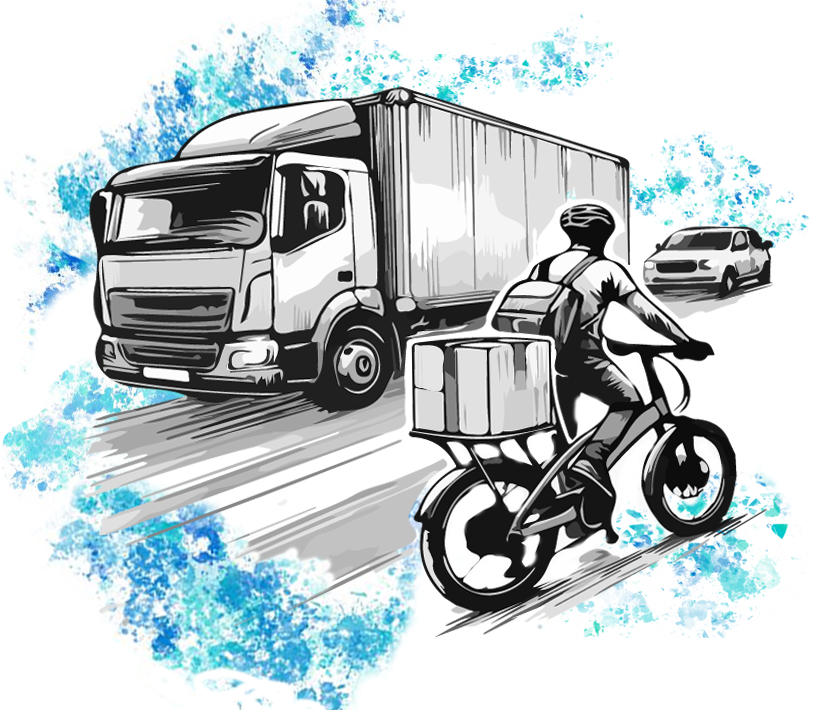
We arrived at our destination just in time to receive our package. This time, the courier came by scooter. The e-LOG project emerged during this fast growth of e-commerce, which has transformed consumer trends. The problem? This increase in online shopping puts pressure on supply chains and raises questions under the European Green Deal, which aims to drastically reduce carbon emissions. “The European Commission has set ambitious targets for decarbonisation, but the delivery of goods in cities – largely powered by fossil fuels – is a major obstacle to achieving these targets. Therefore, e-LOG sought to evaluate the feasibility of replacing traditional vehicles with more sustainable options, like electric bikes and scooters, in urban areas,” explained Tânia Fontes.
What if my order is bulky and heavy? It can’t be delivered by a bike courier. But it goes far beyond that: in areas with specific elements, like city centres, the use of bicycles and scooters is challenging, as the conditions of the terrain, the type of road and the density of demand condition the way couriers travel. “We noticed that in certain places, like hard-to-reach areas, electric vehicles present better results in terms of distance travelled and delivery time. However, traditional bicycles are still unbeatable in zero emissions,” pointed out the researcher.

Although electric solutions are much more interesting from the point of view of environmental sustainability, there is no single perfect solution. According to Tânia Fontes, the adaptation of logistics strategies must adjust to market variables, like increased demand, seasonality and environmental restrictions. “We studied some strategies for urban areas, inspired by large logistics companies. For example, the assignment of fixed zones for couriers allows them to know their work areas well, helping them to create routines, but also to simultaneously reduce delivery times, thus increasing the efficiency of the process. And this is also a way to achieve sustainability considering not only the economic and environmental dimension, but also the social dimension,” she mentioned.
The e-LOG also proposes algorithms that allow monitoring the location of trucks and the waiting time during deliveries, reducing “downtimes”. “This technology, in addition to improving planning, provides a detailed view of places where there are delays in the route, whether they are at the entrance of factories or companies, in parking areas, or on the road itself,” explained Tânia.
One thing’s for sure: online shopping continues to grow, and logistics will have to adapt, looking for alternative solutions on the path to sustainability. Will I still have time to take the bus and do my shopping at the store?
With all these innovations and technologies at our disposal, the question is no longer just whether we will take the bus, train or Metro, but what are the most affordable, sustainable and efficient alternatives. Last stop? Increasingly smart cities.
[1] MUBi – Associação pela Mobilidade Urbana em Bicicleta recently criticised the low government investment for 2024, pointing out that only €1M were allocated, when countries like Ireland invest similar quantities every day.
[2] Data collected on the Anuário Estatístico da Mobilidade e dos Transportes do IMT.


 News, current topics, curiosities and so much more about INESC TEC and its community!